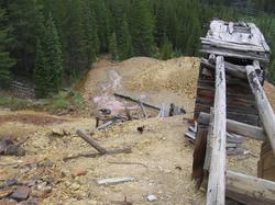
ENVIRONMENTAL SITE ASSESSMENTS (Phase I and Phase II ASTM Protocol) - Specializing in Abandoned Mined Lands Purchases/Acquisitions
Phase I and II ESA's will document environmental degradation; suggest BMP's and allow for acquisition through the Bonified Prospective Purchaser program (EPA)
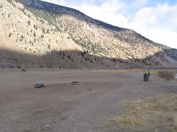
CERCLA (Superfund) Sites ASTM Phase I & II ESA Protocol
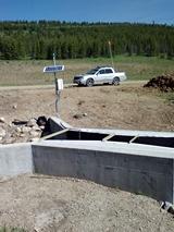
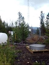
Water Quality/Quantity (QQ) for Research/Permit Monitoring